Getting Around Boston: Transportation

The Boston transportation system comprises roadways, subway, regional rail, air, and sea options for visitors. Boston’s compact, relatively small size means you can walk to most tourist, cultural, and entertainment destinations. All public transport information is available from the Massachusetts Bay Transportation Authority. Learn more on mbta.com
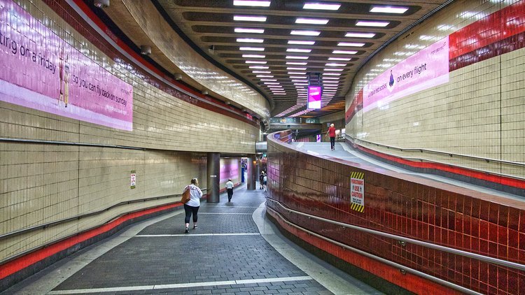
Subway: the “T”
The cheapest and easiest way to get around Boston.
Nearest lines/stops to the Boston Convention and Exhibition Center:
- Broadway (Red Line)
- World Trade Center (Silver Line)
- South Station (Red Line, Silver Line)
Schedules, Maps, and Ticket Information: mbta.com/subway
Bluebikes
Bluebikes is a public bikeshare program with docking stations in numerous convenient locations with a station located right on Summer Street outside of the Boston Convention and Exhibition Center. Learn more and subscribe on bluebikes.com
Bus
Nearest lines/stops to the Boston Convention and Exhibition Center:
- Summer Street (4, 7)
- A Street (11)
Schedules, Maps, and Ticket Information: mbta.com/schedules/bus
MBTA’s “Beginner’s Guide to the Bus”: mbta.com/guides/bus-guide
Regional Transport
South Station serves as a major stop for Amtrak Northeastern routes. Regional bus routes serve the wider Boston metropolitan area as well as the wider New England and East Coast area. Learn more at south-station.net
Air
Logan International Airport is conveniently located just outside of Downtown Boston and is accessible via car, bus, rail, and even by ferry and water taxi. Full information on getting to and from the airport can be found here: boston-airport.com/transportation.php
Taxi & Rideshare
Curb – hail and pay for a traditional taxi through the Curb app.
Uber – nationwide rideshare app available for Boston visitors.
Lyft – nationwide rideshare app available for rideshare hails in Boston